For the people who are below the poverty line, from Chitradurga District (society development) we help for:
1 - Education
2 - Skill Training
3 - Youth Empowerment
4 - Women Empowerment
5 - Health
6 - Modern Agriculture
7 - Green Environment
Feel free to contact (M) 8951523822 (Monday to friday - between 5pm to 8pm)
We welcome volunteers (Financial assistance provided)
About District
District headquarters : Chitradurga
Bounded by...
Northwest-Davanagere,Southwest-Tumakur,northeast-Ballari and West-Shivamogga.
First Established in...
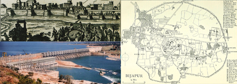
11th century by the Hoysalas.The Chitradurga Fort itself was expanded significantly during the 15th and 16th centuries under the Vijayanagara Empire.
After Hoysala's...
The city was passed to Nayakas of Chitradurga in 17th and 18th centuries.
During Nayakas...
During the Nayakas period, particularly from the late 16th century to the late 18th century, Chitradurga saw major growth and fortification. The Nayakas, also known as the Palegars of Chitradurga, were initially feudatories under the Vijayanagara Empire but eventually rose to power independently as the empire declined. Some of the notable rulers of the Chitradurga Nayakas were Timmanna Nayaka, Obana Nayaka (also known as Madakari Nayaka), and Madakari Nayaka V. The last ruler, Madakari Nayaka V, is particularly famous for his valor and resistance against Hyder Ali of Mysore.
After Independence...
Chitradurga became part of the newly restructured Mysore State, which was later renamed Karnataka in 1973. The reorganization was based on linguistic and cultural commonalities, with Kannada as the primary language of the state
Karnataka State...
The district Chitradurga along with other Kannada speaking areas became a part of “Karnataka State‟ on 1 November 1956.
Chitradurga...
Chitradurga was officially designated as a district within Karnataka, and efforts were made to streamline administrative governance, law enforcement, and local self-governance structures..
Demographic Details
Area : 8,440 Sq Km
No. of Revenue Disivions : 2
No. of Taluks : 6
No. of Hoblies : 23
No. of Gram Panchayats : 185
No. of Villages : 1231
Total Population (As on 2011) : 1,660,378